This week inside the Brief:
- ■Waco puts thermal vision inside the helmet, hands stay free
- ■MIT drone math-proves it will not hit anything
- ■79 percent of chiefs use AI, 14 percent have a policy
- ■Autonomous launcher fires retardant before crews arrive
- ■Astronomers' satellite tool wins XPRIZE for fire detection
- ■Hospitals now predict ED needs before the ambulance arrives
- ■Virginia maps fire risk statewide in one public dashboard
TOOL INNOVATION / THERMAL IMAGING / INTERIOR ATTACK
Waco Fire Department Puts Thermal Vision Inside The Helmet, Hands Stay Free
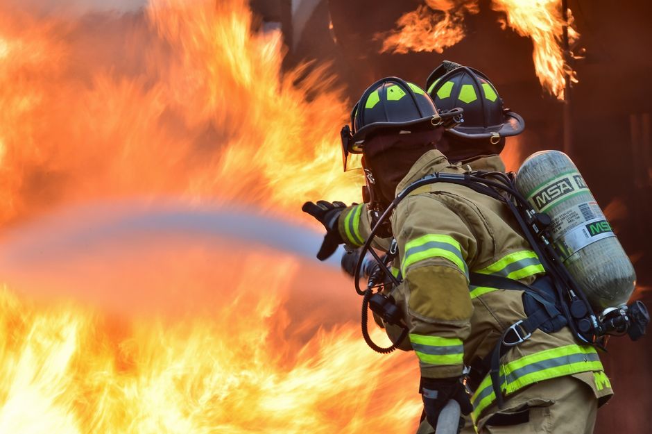
Waco Fire Department is one of 20 U.S. departments selected to pilot Qwake Technologies' C-THRU system, a hands-free helmet-mounted unit that projects real-time thermal imaging, wall outlines, and heat signatures directly onto a heads-up display inside the firefighter's mask. The Waco City Council approved a three-year, $396,000 agreement covering 16 helmet units, command-center software, training, and connectivity services, with the city receiving a 30 percent discount on the core hardware through a sole-source procurement process.
The system eliminates the need to hold a separate handheld thermal camera while navigating smoke-filled, zero-visibility rooms, freeing both hands for forcible entry or victim removal. It also streams a live view from the firefighter's helmet to an incident commander's tablet outside the structure, giving command staff direct situational awareness of interior conditions without relying on radio narration. Beyond thermal imaging, the system adds navigation assistance and post-incident review capability.
Equipment delivery is expected within 60 days, with Qwake's own trainers traveling to Waco to run the department through the system before a planned January 2027 deployment. Waco is the second Texas department to field-test the hardware and one of a small national cohort doing so ahead of any broader commercial rollout, a stage where firefighter feedback still shapes what ships next.
The take: Helmet-mounted thermal imaging removes the handhold and the radio bottleneck from interior attack at the same time. A 20-department national test cohort is the signal chiefs evaluating next-generation PPE should be tracking now, before procurement cycles lock in on last-generation handheld units.
Read the full story at FireRescue1 →
AI / DRONES / SEARCH AND RESCUE
MIT Builds A Drone Navigation System That Mathematically Guarantees No Collisions
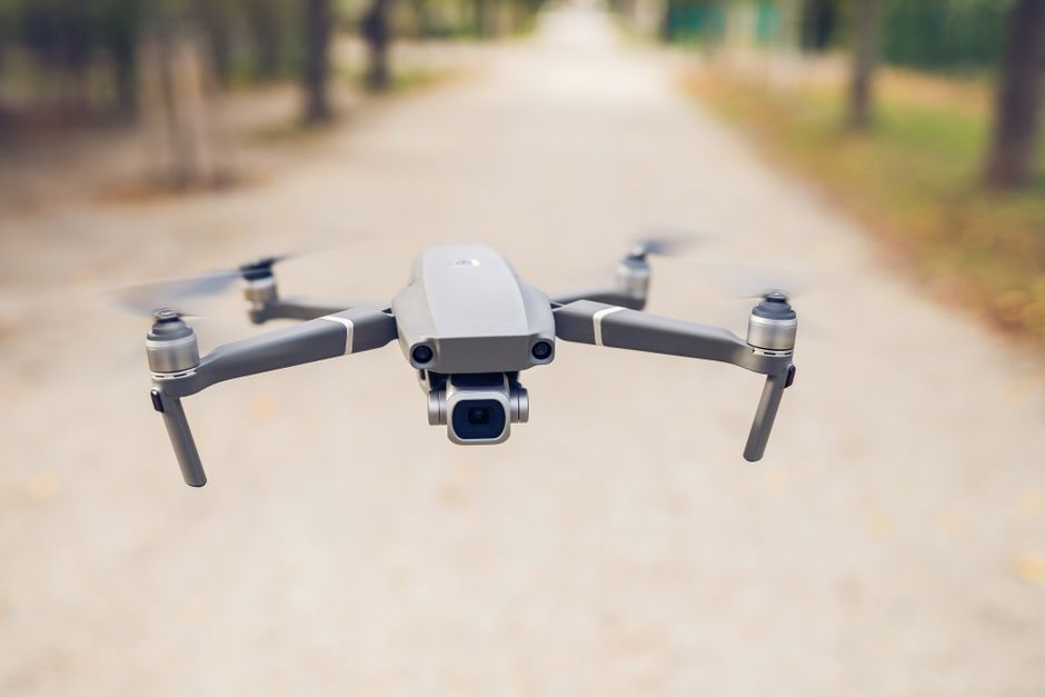
MIT researchers published a new drone navigation method called SANDO in IEEE Transactions on Robotics in October 2026, demonstrating a flight-planning system that provides a mathematical guarantee of collision-free flight through environments the drone has never encountered. Across 12 live test flights involving moving people and objects, SANDO completed every run with zero collisions and reached its destination faster than several benchmark navigation systems, recalculating its path every 18 to 36 milliseconds using only onboard sensors and computing power.
The technical breakthrough is a time-aware safety corridor: SANDO builds a protective bubble around each moving obstacle based on the fastest speed that obstacle could possibly travel, then proves mathematically that the drone will never enter space the obstacle could reach in that window. Lead researcher Kota Kondo and the MIT team specifically designed the system for the hardest real-world conditions, including active fires, collapsed structures, mine tunnels, and dense urban debris fields, where no pre-built map exists and obstacles move unpredictably.
The research remains early stage. Real-world fire deployment would still require testing through smoke, heat, and sensor degradation that lab and open-air conditions do not replicate. But the mathematical guarantee itself, rather than a probabilistic best-effort path, is the piece that has kept autonomous drones out of active fire environments until now.
The take: A drone that can prove it will not hit a falling beam or a moving person, without a map, is the missing technical piece for autonomous reconnaissance inside structure fires and post-collapse search. Once SANDO or a system like it clears field testing through real smoke and heat, the case for interior drone recon becomes credible rather than theoretical.
Read the full story at MIT News →
AI / POLICY / GOVERNANCE
79 Percent Of Fire Chiefs Use AI. Only 14 Percent Have A Policy Governing It.
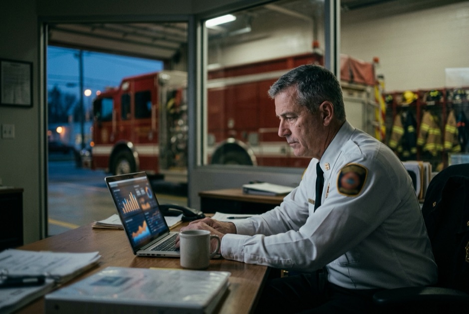
A Strategic Scan published by the Center for Public Safety Excellence surveyed 156 fire chiefs from CFAI-accredited departments in mid-2025 and found that 79 percent of their departments already use some form of artificial intelligence, while only 14 percent have adopted a formal AI policy. Roughly 40 percent of respondents said they access AI tools through their authority having jurisdiction, meaning a meaningful share of current AI use is happening through personal devices and informal channels rather than sanctioned organizational systems.
Chiefs reported AI already running in emergency call prioritization, pre-incident resource positioning ahead of severe weather, outdoor fire detection, and administrative work including policy drafting and after-action reviews. Nearly all respondents voiced at least one concern, with 73 percent citing data quality and privacy issues and 83 percent flagging gaps in training, expertise, or ethical use. Future plans extend AI into community risk reduction, pre-planning, station deployment analysis, aerial reconnaissance, and fire plan review.
CPSE's recommendations are direct: pilot AI in low-risk, high-impact areas before scaling, partner with vendors or research institutions on advanced tools, and build explicit frameworks covering acceptable use, data privacy, transparency, human oversight, and procurement before adoption outpaces governance any further than it already has.
The take: When 79 percent of departments are running AI and only 14 percent have a policy, that gap is not a technology problem, it is a leadership accountability problem. Every chief reading this without a written AI policy already in place should have a draft started before next week's staff meeting.
Read the full story at TransformGov →
TOOL INNOVATION / AUTONOMOUS SYSTEMS / WILDFIRE SUPPRESSION
Autonomous Launcher Fires Retardant Before Any Crew Ever Reaches The Fire
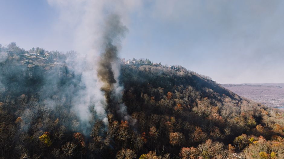
FireDome, an Israeli-founded autonomous wildfire defense company, launched U.S. operations in October 2026 anchored by a demonstration site at Yuba County Airport in California. The company's system is a stationary ground-based launcher that combines continuous fire monitoring with the ability to deploy smart capsules filled with eco-friendly retardant up to 1,000 feet, building defensive firebreaks and coating threatened structures before a fire spreads. Each installation is designed to protect approximately 70 acres and operates without local water, power, or on-site personnel.
The company has spent several months testing capsule launches, detection, targeting, and suppression capabilities at the Yuba County site before this public announcement. FireDome frames the system as upstream intervention: acting during the critical window between initial detection and crew arrival, a gap that in remote or high-risk wildland-urban interface terrain can decide whether a fire is contained or lost. The company is now seeking early-adopter installations with high-risk California communities, businesses, and insurers, targeting a spring 2027 start.
Chiefs evaluating the technology face two real operational questions. How does a system that has already deployed retardant to a perimeter integrate with mutual aid and incoming crew deployment decisions, and what liability framework applies when an autonomous system makes a suppression call before human incident command is established on scene. FireDome positions itself as a complement to traditional firefighting, not a replacement, but those integration questions have no established answer yet.
The take: FireDome is the first commercially-oriented autonomous suppression system testing at this scale in California, and the liability and ICS-integration questions it raises are questions the fire service should be working through now, before the technology shows up in a department's own response area without a playbook for it.
Read the full story at Business Wire →

AI / WILDFIRE DETECTION / SATELLITE
Astronomers, Not Fire Tech Vendors, Just Won An XPRIZE For Wildfire Detection
A team of Northern Arizona University researchers and Flagstaff-area fire professionals, competing as Team Snuffed, won $250,000 and the Methodological Innovation Award for second place in the global XPRIZE Wildfire Space-Based Detection and Intelligence competition, announced September 23, 2026. The team was the only U.S. finalist among eight competing teams drawn from an initial field of more than 300, and built EmberSat, a software platform that uses machine learning to analyze publicly available satellite observations over time and flag changes that may signal a developing fire.
EmberSat integrates detection, ongoing fire tracking, and contextual intelligence into one view, designed specifically to reduce the cognitive load on fire managers rather than hand them another raw data stream to interpret. During the competition's live finals in April, the system monitored roughly 800,000 square kilometers of New South Wales, Australia, running fully autonomously for nine days with no human in the loop and up to 60 active incidents tracked on screen simultaneously, delivering results to judges through a live data portal.
Team lead David Trilling, who chairs NAU's Department of Astronomy and Planetary Science, and EmberSat founder and CEO Alexander Shenkin both frame the win as proof that fire detection built by people who understand raw satellite data at a deeper level than most fire-tech vendors, and designed around what resource-constrained fire managers actually need, can outperform systems built the conventional way. XPRIZE awarded $4.55 million total across its two competition tracks, sponsored by PG&E, the Gordon and Betty Moore Foundation, the Minderoo Foundation, and Lockheed Martin.
The take: EmberSat is a reminder that the next genuinely useful wildfire detection tool may not come from a fire-tech company at all. A platform built by astronomers who treat false-positive reduction as seriously as detection speed, and tested running autonomously for nine straight days, is worth tracking toward operational deployment with CAL FIRE or USFS.
Read the full story at NAU News →
AI / EMS / HOSPITAL DATA INTEGRATION
Hospitals Now Get Patient Data Before The Ambulance Even Arrives
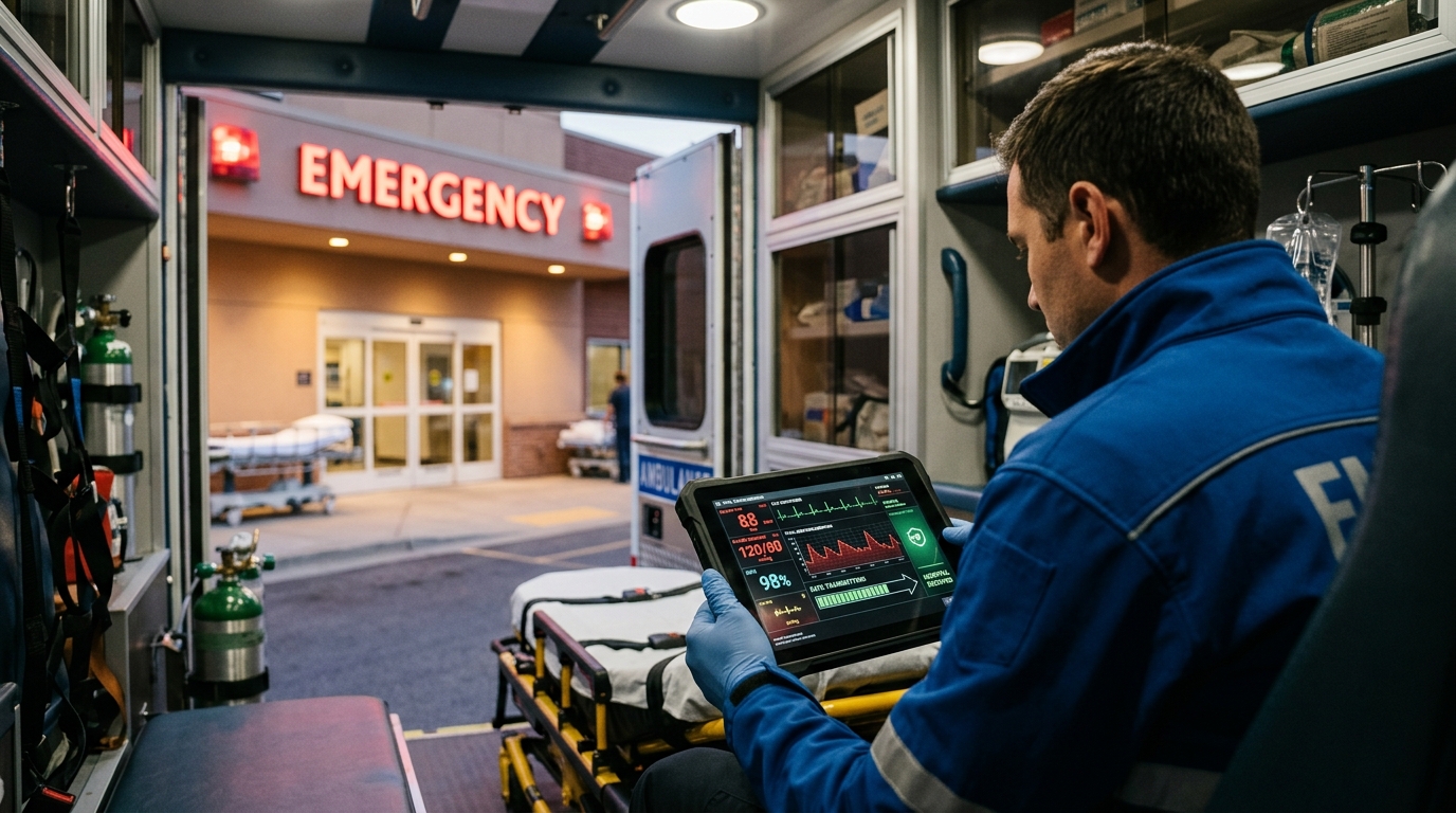
University Hospitals in Cleveland expanded its partnership with EMS data platform ESO in October 2026, bringing ESO Prehospital Intelligence to fire departments and EMS agencies transporting patients to any of its 21 facilities across northern Ohio, described as the first arrangement of its kind in the state. The expansion builds on UH's Health Data Exchange, which has connected more than 300 agencies across 16 counties with Epic records since July 2025, and now closes the loop in both directions between ambulance crews and emergency departments.
Under the new arrangement, EMS crews receive outcome summaries on every patient they transported, including lab results, imaging, vital signs, and procedure notes, paired with outcomes-based continuing education credit tied to quality improvement. In the other direction, prearrival indicators now flow from EMS to the hospital before the ambulance reaches the door, giving emergency department staff estimated patient acuity, likelihood of admission, anticipated resource needs, and expected length of stay based on prehospital data alone.
University Hospitals describes the shift as moving from reactive to predictive operations, allowing ED staff to arrange beds, forecast staffing, and mobilize resources earlier than current workflows allow. For fire-EMS departments carrying a heavy documentation burden, the practical change is that quality assurance review on calls already run no longer requires manually chasing down what happened to the patient after transport, something that rarely got done consistently before.
The take: The ESO-UH model previews what routine EMS quality improvement looks like once AI closes the data loop between ambulance and emergency department automatically. Fire-EMS departments not yet receiving structured post-transport outcome data from their hospital partners now have a concrete example of what to ask for.
Read the full story at GlobeNewswire →
DATA / COMMUNITY RISK REDUCTION / STATE FIRE MARSHAL
Virginia Maps Fire Risk Statewide In One Public Dashboard, A First For Any State
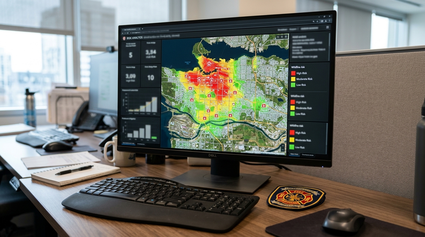
The Virginia Department of Fire Programs launched the commonwealth's first statewide Community Risk Assessment Dashboard on October 8, 2026, a geospatial tool built on Esri ArcGIS Online that aggregates four years of incident data, building stock, demographics, hazard proximity, and community service organization presence into a single publicly accessible platform. The dashboard maps risk across all nine categories defined in NFPA Standard 1300, giving any Virginia fire department a starting point for formal community risk assessment, particularly smaller departments with no dedicated data staff of their own.
VDFP community risk reduction coordinator Sarah Kenny described the tool as designed to surface patterns that individual departments cannot identify from their own incident records alone: concentrations of older housing stock without smoke alarms, proximity to industrial hazards, and geographic gaps in emergency response coverage. The state-level view also lets VDFP direct training, funding, and support to localities based on demonstrated risk data rather than self-reported need, something the agency previously had no systematic way to do.
VDFP is running a series of one-day Community Risk Assessment workshops across Virginia from October 2026 through January 2027, bringing NFPA, NERIS, and Esri together to help department leaders start using the dashboard in their own local prevention and mitigation planning. The underlying model, a state-level aggregation layer built on national incident standards that feeds down into individual department CRA work, is directly replicable by any other state fire marshal office willing to build it.
The take: Virginia just built the first state-level, NFPA 1300-aligned geospatial CRA layer in the country. Any state fire marshal office still relying on departments to self-report risk now has a working template to copy instead of building one from scratch.
Read the full story at WRIC →
What We're Watching
Qwake C-THRU National Rollout: Watch for early results from the 20-department pilot cohort as Waco and peer departments begin field use in January 2027, and whether other TIC and PPE makers respond with their own AR overlays.
Fire Chief AI Policy Gap: Watch for whether CPSE or IAFC develops a model AI governance template departments can adopt directly, closing the 79-to-14 percent gap the Strategic Scan identified.
FireDome Early Adopters: Watch for the first customer installations in spring 2027 and whether California or another state moves to establish a regulatory framework for autonomous suppression systems operating ahead of fire crews.
Virginia Dashboard Adoption: Watch for turnout at VDFP's CRA workshops running through January 2027, and whether other state fire marshal offices begin building their own version of the model.
Get The Overhaul Brief Every Tuesday
Fire service intelligence delivered to your inbox. Join thousands of fire service leaders who rely on The Overhaul Brief to stay ahead.
Subscribe Free