Issue 013
Published May 27, 2026
This week: $648 million in FEMA fire grants with the tightest deadline in years, MSA's G1 XR SCBA brings real-time data to incident command, LION rethinks turnout gear around how firefighters actually move, drone swarms map wildfire smoke in 3D, Nashville cuts fire funding as the city grows 300,000 residents, and California deploys wall-to-wall LiDAR fuel maps.

FUNDING
FEMA Opens $648M in Fire Grants - Applications Due June 22
FEMA opened the application window for $648 million in fire department funding on May 19, including $291.6 million through the Assistance to Firefighters Grant program. The 34-day window (closing June 22) covers PPE, apparatus, training, and wellness programs. The announcement comes amid growing call volumes nationwide and marks one of the shortest application periods in recent years. Applications submitted after 5 PM ET on June 22 will not be accepted - a hard cutoff that has caught departments off guard in prior cycles.
The take: This is one of the tightest AFG timelines in years. Departments that wait until early June to start their applications are setting themselves up to miss the deadline. The short window suggests FEMA wants awards announced faster, but it puts smaller departments without grant writers at a disadvantage. If your department has been delaying that apparatus or PPE request, you have 29 days left.
Read the full story at FEMA →
EQUIPMENT
MSA G1 XR Edition SCBA Hits Market With Lighter Weight, Easier Cleaning
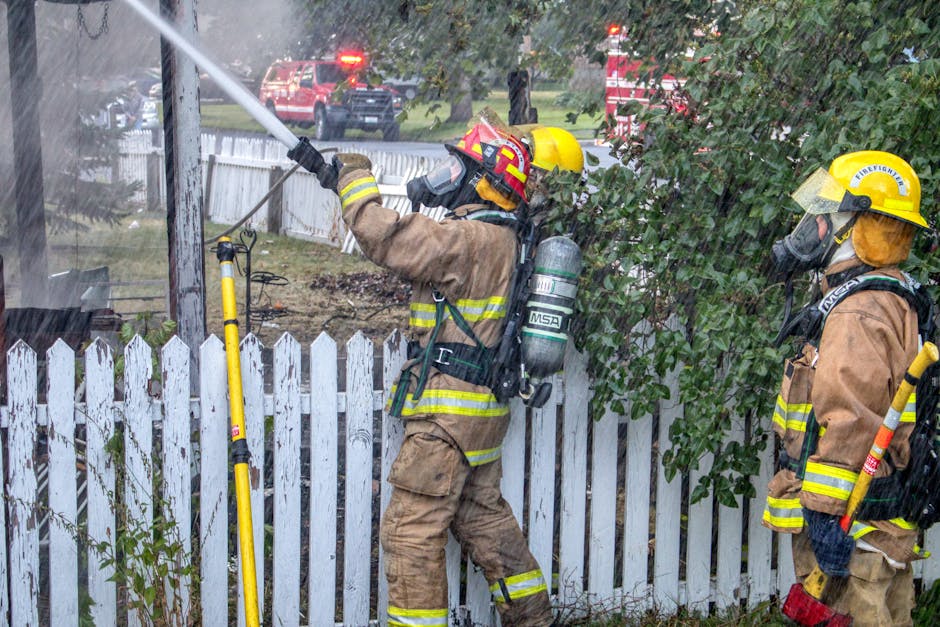
MSA Safety launched the G1 XR Edition SCBA at FDIC 2026, adding user-requested improvements to the decade-old G1 platform. The update reduces weight, improves fit with adjustable lumbar options, and simplifies decon with removable soft goods. It meets the 2025 NFPA 1970 standard and integrates with MSA's FireGrid Incident Command API, feeding real-time air pressure and alarm data into department-preferred incident management systems. The updates stem from 10+ years of firefighter feedback on what actually matters on scene.
The take: This is iterative improvement done right - lighter, cleaner, better connected, without reinventing the entire platform. The FireGrid API integration is the real story: incident commanders can now see G1 SCBA data in the same system tracking apparatus and assignments, cutting down on information overload. That's the kind of data consolidation that actually helps on complex scenes.
Read the full story at PR Newswire / MSA Safety →
PPE
LION V-Force EVO Turnout Gear Redesigns Around How Firefighters Actually Move
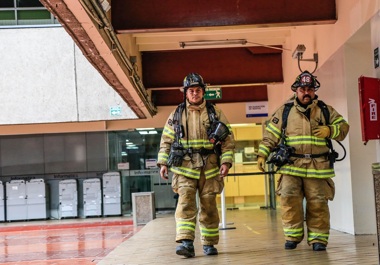
LION launched the V-Force EVO line at FDIC 2026, rethinking structural turnout design around the movements firefighters rely on most: crawling, climbing, reaching, and working on air. The premium line maintains full NFPA compliance while moving naturally with the body, reducing restriction during long shifts. It's paired with updated V-Force structural fire boots featuring front and rear flex gussets, ankle lock support, and Poron XRD shin protection. Both are available in men's and women's sizing, addressing fit issues that have plagued female firefighters for years.
The take: Turnout gear that actually moves with you instead of against you sounds obvious, but it's taken the industry decades to prioritize mobility over just meeting thermal protection benchmarks. The real test will be whether the EVO maintains that freedom of movement after a year of fireground abuse and repeated cleanings. If it does, this could reset expectations for what 'premium' turnout gear should deliver.
Read the full story at LION Group →
TECHNOLOGY
University of Minnesota Drone Swarms Map Wildfire Smoke in 3D Using AI
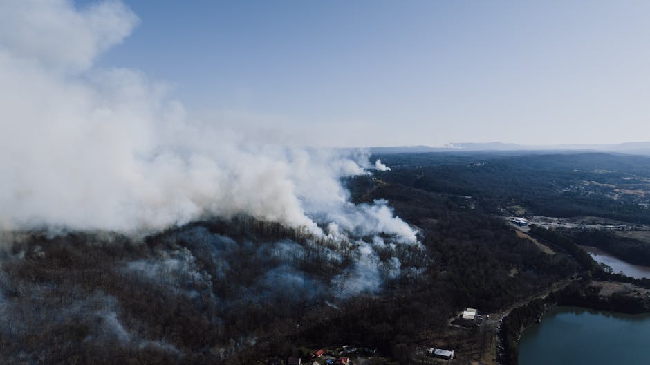
Researchers at the University of Minnesota developed autonomous drone swarms that detect, track, and analyze wildfire smoke plumes in real time, creating 3D reconstructions of smoke dispersion. The AI-equipped aerial robots navigate into smoke to capture particle movement from multiple angles, providing data that improves fire behavior models and air quality predictions. Field tests on prescribed burns in 2025 showed the swarms can collect high-resolution data across large areas at lower cost than satellite systems. The team is now integrating fixed-wing VTOL drones for extended-range surveillance missions lasting over an hour.
The take: This is the kind of wildfire research that matters - not another predictive model built on satellite data everyone already has, but real drones flying into actual smoke to measure what's happening at ground level. The 3D smoke mapping could transform how incident commanders understand plume behavior and downwind impacts. If they can scale this to operational use, it's a major upgrade from 'we think the smoke is going that way.'
Read the full story at University of Minnesota →
OPERATIONS
Nashville Fire Faces Budget Cuts as City Grows, Call Volume Climbs
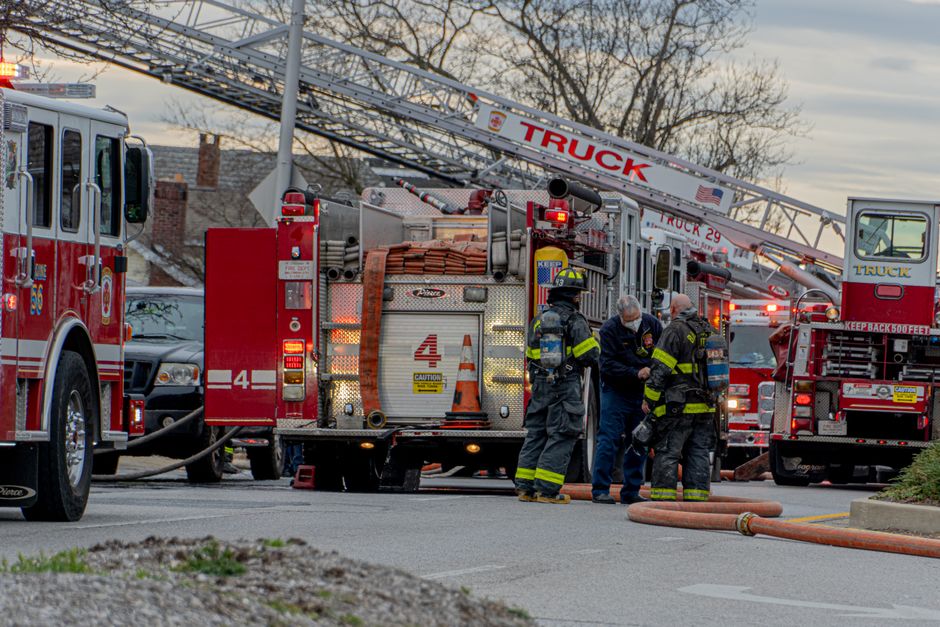
Nashville Mayor Freddie O'Connell's proposed 2026 budget cuts nearly $400,000 (1.5%) from the fire department despite the city gaining 300,000 residents since 2003 and call volumes exceeding 160,000 incidents in 2025. The department has not added a fire station since 2003 and currently operates 39 stations; Shelby County has 90. Fire Chief William Swann told Metro Council the department ideally needs six new stations - in Midtown, East Bank, and the four corners of Davidson County - at an estimated cost of $33 million each. The budget proposal funds only $3.4 million of the department's $22 million request.
The take: Nashville's math doesn't add up: 300,000 new residents, zero new fire stations, and now a budget cut. Chief Swann is being diplomatic when he says 'we will make tough decisions to absorb that,' but he's also clear about the stakes: lives depend on it. When a city grows that fast without expanding fire coverage, response times stretch and firefighters get run into the ground. This is what happens when municipal leaders treat fire protection as a line item instead of infrastructure.
Read the full story at FOX 17 Nashville →
TECHNOLOGY
California Deploys Statewide LiDAR Maps to Target Wildfire Fuel Buildup
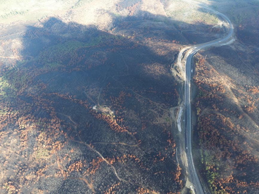
California released the first statewide LiDAR dataset mapping terrain and vegetation across 100+ million acres, providing a single high-resolution view of where wildfire fuels have accumulated. The California Natural Resources Agency partnered with NASA Ames and processed 40 million acres of new data collected with $30 million in state funding. The 3D maps identify fuel loads, forest recovery patterns, and terrain features that influence fire spread - data now publicly accessible for agencies, tribes, researchers, and land managers. The release follows California's assignment of five new Type-6 engines to Los Angeles and expansion to the world's largest aerial firefighting fleet.
The take: This is what 'data-driven wildfire management' actually looks like - not another dashboard, but wall-to-wall, high-resolution fuel maps that tell you exactly where the problem is. LiDAR sees through vegetation to map the ground underneath, which matters when you're trying to predict post-fire erosion and landslides. The fact that California made this data publicly accessible instead of locking it behind agency walls is a win for everyone doing wildfire planning.
Read the full story at California Governor's Office →
WHAT WE'RE WATCHING
FEMA AFG Awards – June 22 application deadline means award announcements likely fall 2026. Watch for post-award analysis on which request types succeeded in the shortest application window in years.
MSA FireGrid Adoption – G1 XR SCBA API integration now live. Watching which incident command platforms adopt FireGrid first and how real-time SCBA telemetry changes fireground accountability.
Nashville Budget Vote – Metro Council expected to vote on proposed fire budget cut by end of June. Outcome could set precedent for other fast-growing Sun Belt cities facing similar fiscal pressure.