This week: Amazon recalls its entire robotaxi fleet after one drove into an active fire scene in Las Vegas, a WVU lab builds the AI that tells satellites where to reposition during a wildfire, and a KAIST terahertz scanner catches battery defects on the factory floor before they become EV fires. Plus a fire lab studies why AI data center batteries keep igniting, an Indiana fire department starts testing AR helmets that let crews see through smoke inside structure fires, and a University of Florida spinoff whose lightning sensors have already caught 500+ wildfires this year.
AI - AUTONOMOUS VEHICLES - SCENE SAFETY
Amazon's Robotaxi Fleet Recalled After One Drove Into an Active Fire Scene
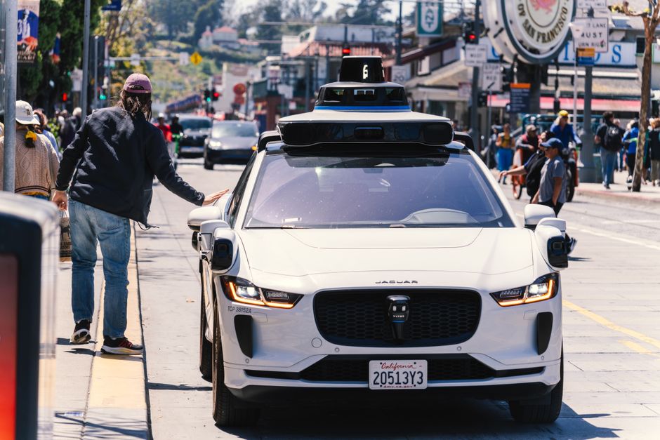
Amazon-owned Zoox recalled software across all 105 of its robotaxis operating on public roads after one vehicle drove into an active emergency fire scene in Las Vegas on June 20, 2026. Heavy smoke obscured the scene, which had not yet been cordoned off with traffic cones. The unoccupied vehicle entered the area, braked hard while attempting to steer away, and stopped inside the hazard until a Zoox teleoperations employee reversed it clear so first responders could place cones.
Zoox filed the voluntary recall on July 7 and shipped an over-the-air software update adding detection of and response to heavy smoke. The incident came one week before NHTSA Administrator Jonathan Morrison issued a directive to autonomous vehicle developers, citing a pattern of driverless AVs interfering with law enforcement and first responders - including failures to recognize flashing lights, flares, smoke, fire, and traffic cones. Morrison called on AV companies to fix the issue and report solutions to the agency.
The take: Fire scene perimeter control has always assumed human drivers can recognize smoke and cones as a stop signal. Departments in robotaxi markets should treat AV fleets as a new hazard at every working fire until manufacturers prove otherwise.
Read the full story at CNBC →

AI - WILDFIRE - SATELLITE - RESEARCH
WVU Engineers Build an AI Framework That Lets Satellites Reposition Themselves for Wildfires
West Virginia University researchers Brycen Pearl, Joshua Warner, and professor Hang Woon Lee published a new AI framework called WildFIRE-DS in the Journal of Aerospace Information Systems that goes beyond simple wildfire detection. Where systems like FireSat and OroraTech use AI to interpret satellite imagery and confirm a fire exists, WildFIRE-DS adds the capability for satellites to autonomously reset their own observation schedules and reposition themselves once a fire is confirmed.
The framework interprets satellite images with statistical validation, then coordinates across a constellation to retask and reposition satellites so they revisit newly detected fire locations more frequently. The research was supported by the NASA West Virginia Established Program to Stimulate Competitive Research. Lee noted that planned constellations of 50 to 100 satellites with resolution fine enough to see fires as small as cars could eventually send alerts to fire departments before anyone calls 911.
The take: Detection is not the bottleneck anymore. Getting the same satellite back over a spreading fire faster than its original orbit allows is the next fight, and a university lab beat the satellite companies to publishing it.
Read the full story at WVU Today →
AI - EV BATTERY SAFETY - MANUFACTURING - RESEARCH
A Terahertz Scanner Detects Battery Flaws Before They Cause EV Fires
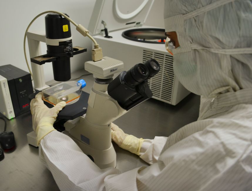
A KAIST research team led by professor Young-Jin Kim developed a non-contact, non-destructive method to measure lithium-ion battery electrode thickness with precision equivalent to roughly one ten-thousandth the diameter of a human hair, without disassembling or damaging the battery. The technology combines terahertz waves with an optical frequency comb to detect microscopic thickness variations in electrodes that can concentrate current during charging and trigger thermal runaway.
The system measured thickness differences as small as 7.8 nanometers in anodes and 25.2 nanometers in cathodes - an improvement of up to 100 times over conventional time-domain analysis methods - in a measurement window fast enough for use on active production lines. The team validated the method on electrodes tilted at production-line angles and confirmed it can generate 3D thickness maps in real time. The research, published in Nature Communications, targets a root cause of EV battery fires at the manufacturing stage rather than after the fact.
The take: Every EV fire a crew responds to starts with a defect that already existed on the factory floor. If inspection tech like this reaches US battery plants, it changes what departments are called to years before it changes anything on scene.
Read the full story at EurekAlert →

AI - DATA CENTERS - LITHIUM BATTERY - RESEARCH
A Fire Lab Is Studying Why AI Data Center Batteries Keep Igniting
Researchers at the University of Waterloo's Fire Research Facility, led by Dr. Vinny Gupta with colleagues Dr. Kyle Daun and Dr. Michael Pope, are studying how lithium-ion batteries powering AI data centers fail and catch fire. The team recreates thermal runaway scenarios in controlled conditions and captures high-speed data on how fires start, spread, and evolve inside battery systems that power the infrastructure behind the current AI buildout.
Gupta said the goal is to determine precise failure conditions so manufacturers can design safeguards before those conditions occur, including better thermal management, improved spacing between cells, enhanced monitoring, and faster detection of early warning signs. A separate study from Texas A&M University, George Washington University, and UC Berkeley examined eight data center fires from the past five years and found that electrical issues and lithium-ion battery failures caused all fires in the sample, and IAFF safety officer input warned that fire department responses to data center battery incidents are likely to increase until hazards are engineered out.
The take: The AI boom is quietly building a new class of structure that most departments have never trained for - buildings packed with battery capacity at a scale that used to only exist in utility substations.
Read the full story at TechXplore →
STRUCTURE FIRE - AUGMENTED REALITY - INNOVATIVE TOOL
Indiana Fire Department Starts Live Trial of AR Helmets That Let Crews See Through Smoke
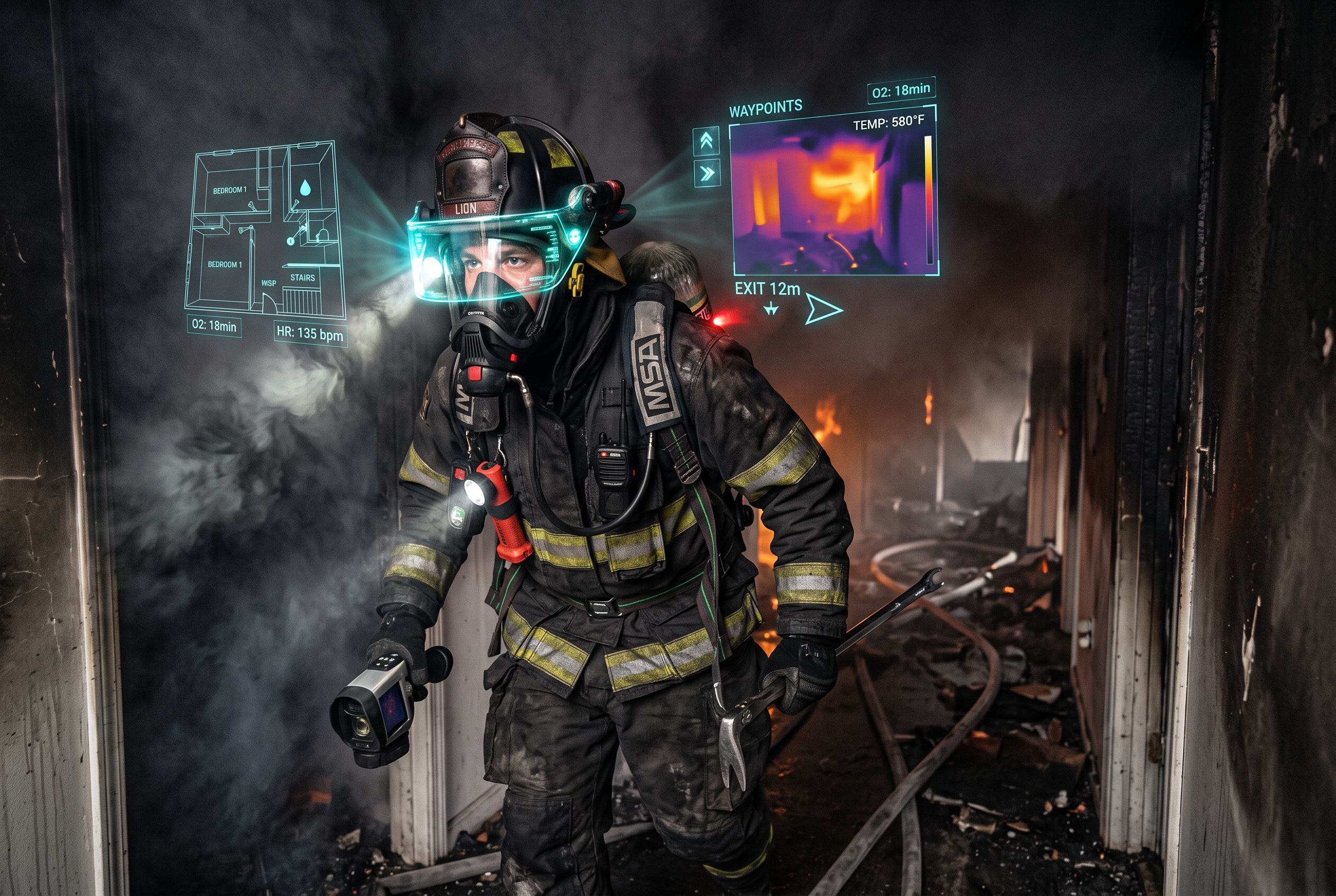
The Carmel Fire Department became the tenth department to trial Qwake Technologies' C-THRU Navigator, an augmented reality system that mounts to a standard fire helmet and lets firefighters see through smoke during interior operations. The device uses thermal imaging and AR overlays to outline heat signatures, victims, and structural hazards in zero-visibility conditions. It also livestreams video back to incident commanders, who can send visual navigation cues to crews inside.
Carmel received 16 devices and four command tablets when the three-year, $375,000 pilot launched June 29 - funded largely by private donors through the local Heroes Club. Division Chief Tom Marvel, speaking on Fire Engineering's Data and Tech Talk podcast July 12, said the system weighs about two and a half pounds and feels natural once crews start working. Carmel is the tenth department in Qwake's rollout; Corpus Christi received units earlier this year.
The take: The biggest killer in structure fires is zero visibility. A helmet-mounted system that outlines the room, marks victims, and gives IC a live feed from inside the building is the kind of tool that changes how interior searches work. At $375K for 16 units over three years, the cost is significant but the funding model - private donors, not the general fund - is one other departments can replicate.
Read the full story at FireRescue1 →
AI - WILDFIRE - LIGHTNING DETECTION - STARTUP
University Spinoff's Lightning Sensors Have Detected 500+ Wildfires This Year by Catching the Strikes That Start Them
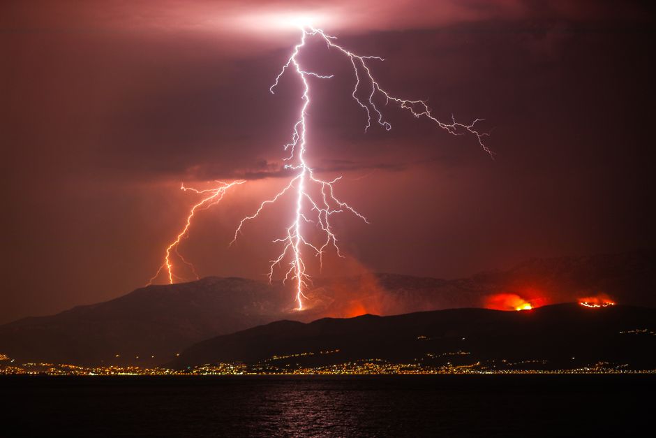
Fire Neural Network (FNN), a University of Florida spinoff with 32 employees, has detected over 500 lightning-caused wildfires in 2026 by identifying which strikes are "long continuing currents" - the kind most likely to ignite. Their AI-powered High Risk Lightning Detectors, spaced every 50 square miles, track the heat and duration of every strike within a 25-mile radius and assess 35 environmental variables in real time. FNN says detection time drops from 24 hours to 40 seconds.
Over 30 aerial pilots now fly directly to FNN-flagged locations daily during fire season, with strike data accurate to under 100 feet. The detectors are deployed across Florida, Georgia, Idaho, Montana, California, Utah, and other states. The company - whose co-founders Caroline Comeau and Tamas Kereszy were named to the Forbes 30 Under 30 list in 2026 - expects eight-figure revenue this year and is in conversations with tribal nations and utility companies including Verizon. Lightning-caused wildfires account for the most acreage burned in the United States due to their historically low rate of detection.
The take: Lightning-caused wildfires account for the most acreage burned in the US because they go undetected the longest. A sensor network that turns a 24-hour blind spot into a 40-second alert window is the kind of force multiplier wildland chiefs should be asking their state forestry partners about.
Read the full story at Forbes →
WHAT WE'RE WATCHING
Whether NHTSA's end-of-month deadline produces binding AV emergency-scene detection requirements across all manufacturers, not just Zoox - and whether the next incident involves a crew member instead of an empty car.
Whether other cities follow Rancho Cucamonga's FIREBird deployment model - and whether the state grant funding mechanism scales to cover more WUI communities before the next Santa Ana wind event.
Whether WildFIRE-DS gets licensed or adapted by FireSat or OroraTech for operational deployment, or remains an academic proof of concept that never reaches the fire service.